FDP Software · 3D Environments

3D Environments. Venezuela, ready to simulate.

We turn open terrain data into realistic environments of Caracas in Unreal Engine 5, ready to explore on foot, by vehicle or in flight inside video games and simulators.

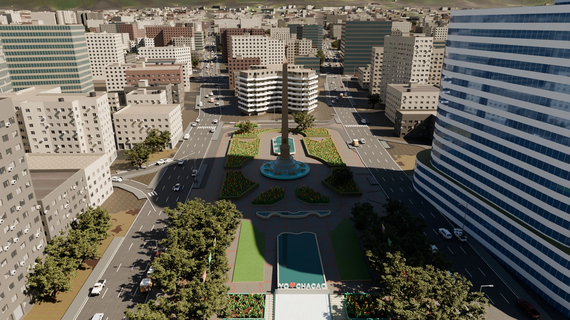
3D render of Plaza Francia in Altamira, Caracas, generated from real data
Engine
Unreal Engine 5
Data
OpenStreetMap and Sentinel-2
Terrain
Satellite terrain model
Exploration
On foot, by vehicle and in flight

From a map to a world you can explore.

An automated process that can be repeated for new areas, instead of modeling every street by hand.

Real data

Streets, buildings, parks and roads taken from OpenStreetMap, with their position and height.
Terrain and satellite imagery

Mountains and valleys from the satellite elevation model, covered with Sentinel-2 imagery.

Automated process

The same process generates new areas of the city without modeling them one by one.

Recognizable places

Well-known squares, avenues and buildings of Caracas, with El Ávila in the background.

Ready for simulators

Environments ready to explore on foot, by vehicle and in flight, and to integrate with our simulators.

Image quality

Unreal Engine 5 lighting and materials for realistic images at different times of day.

See it in action.

Real screenshots of the system at work.
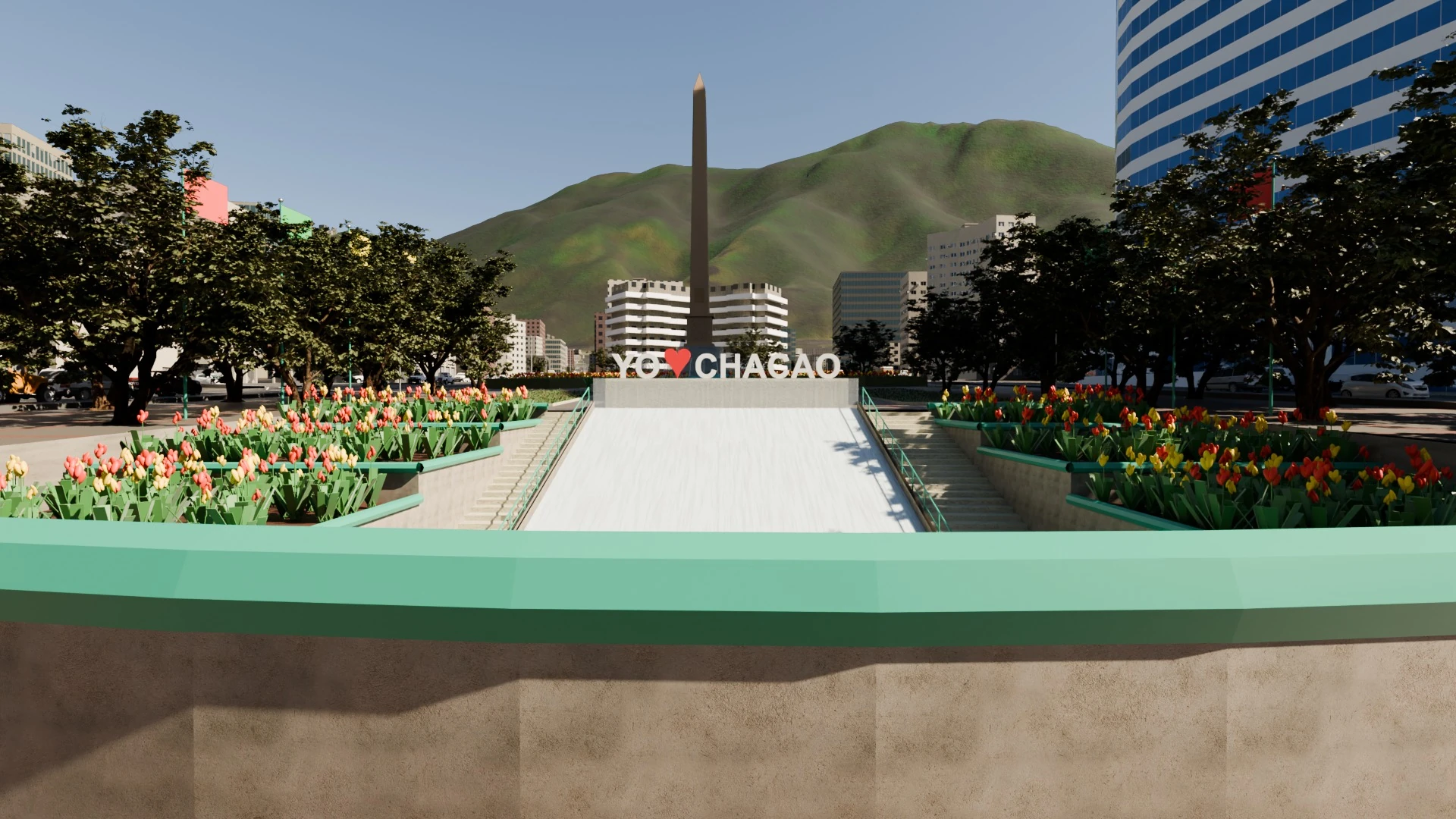
Plaza Francia in Altamira at street level, with the obelisk and El Ávila in the background
Plaza Altamira at street level
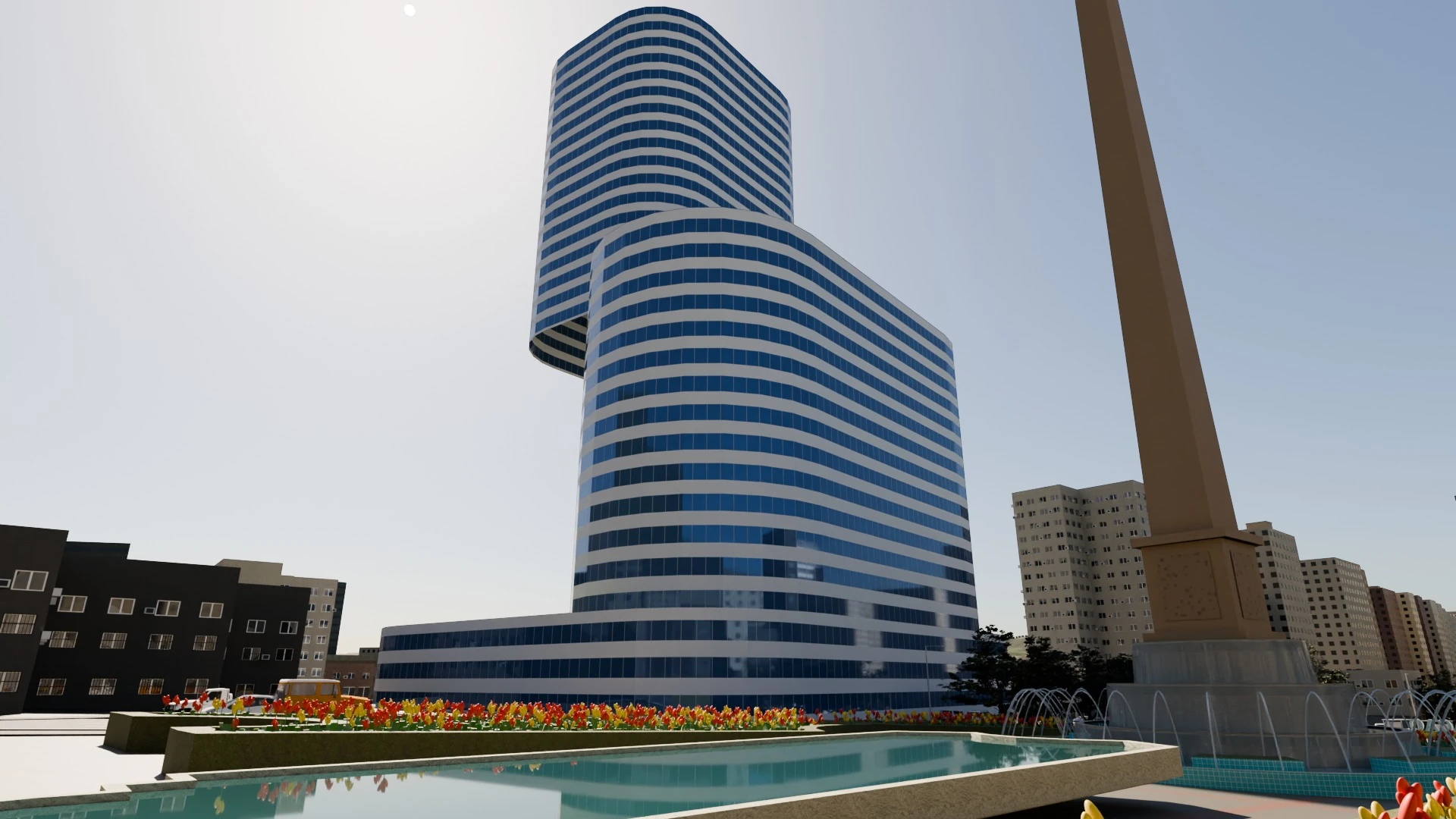
Office tower next to the square, with gardens and a fountain
Towers and gardens of Altamira
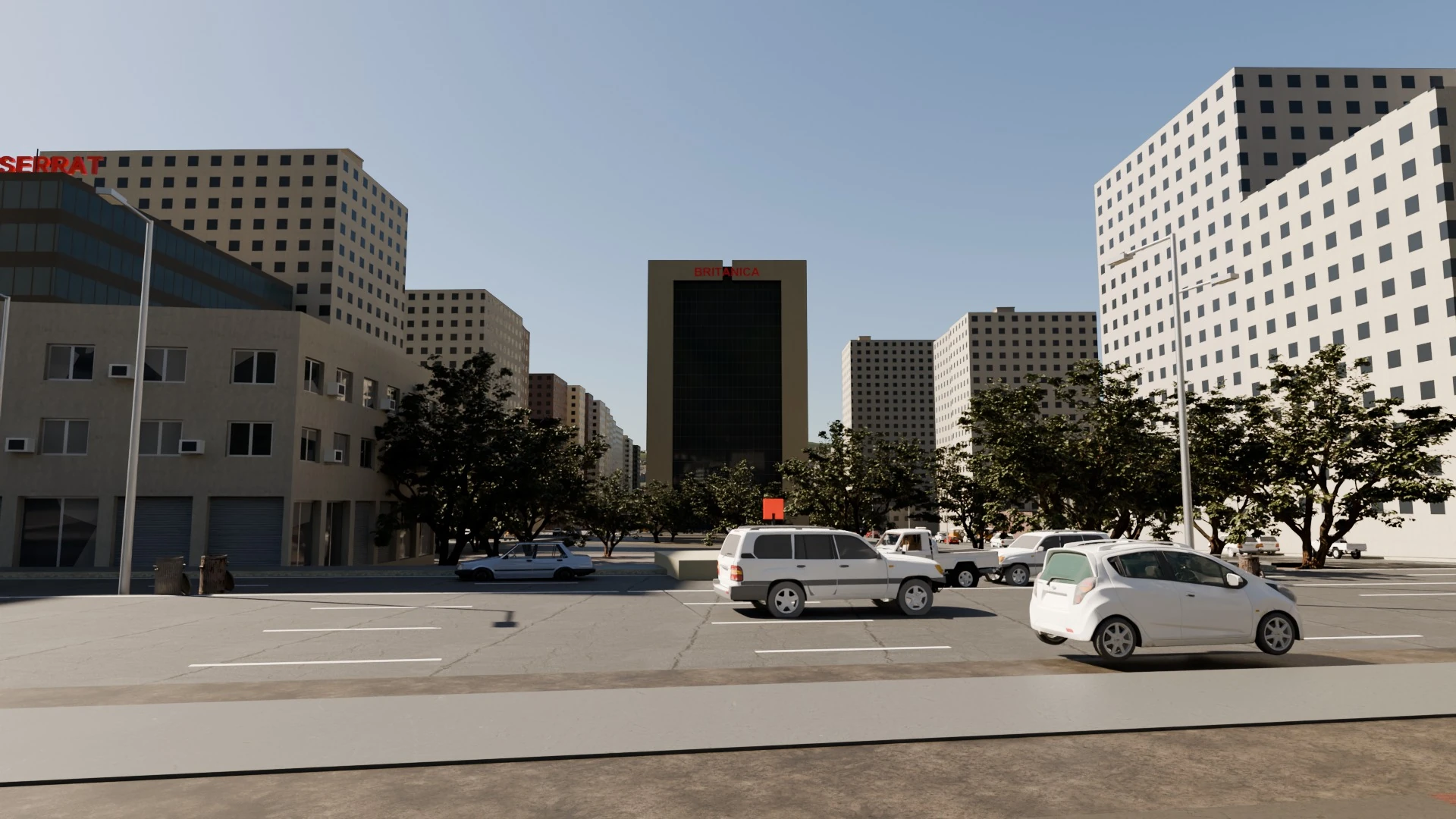
Caracas avenue with buildings and parked vehicles
A drive down an avenue
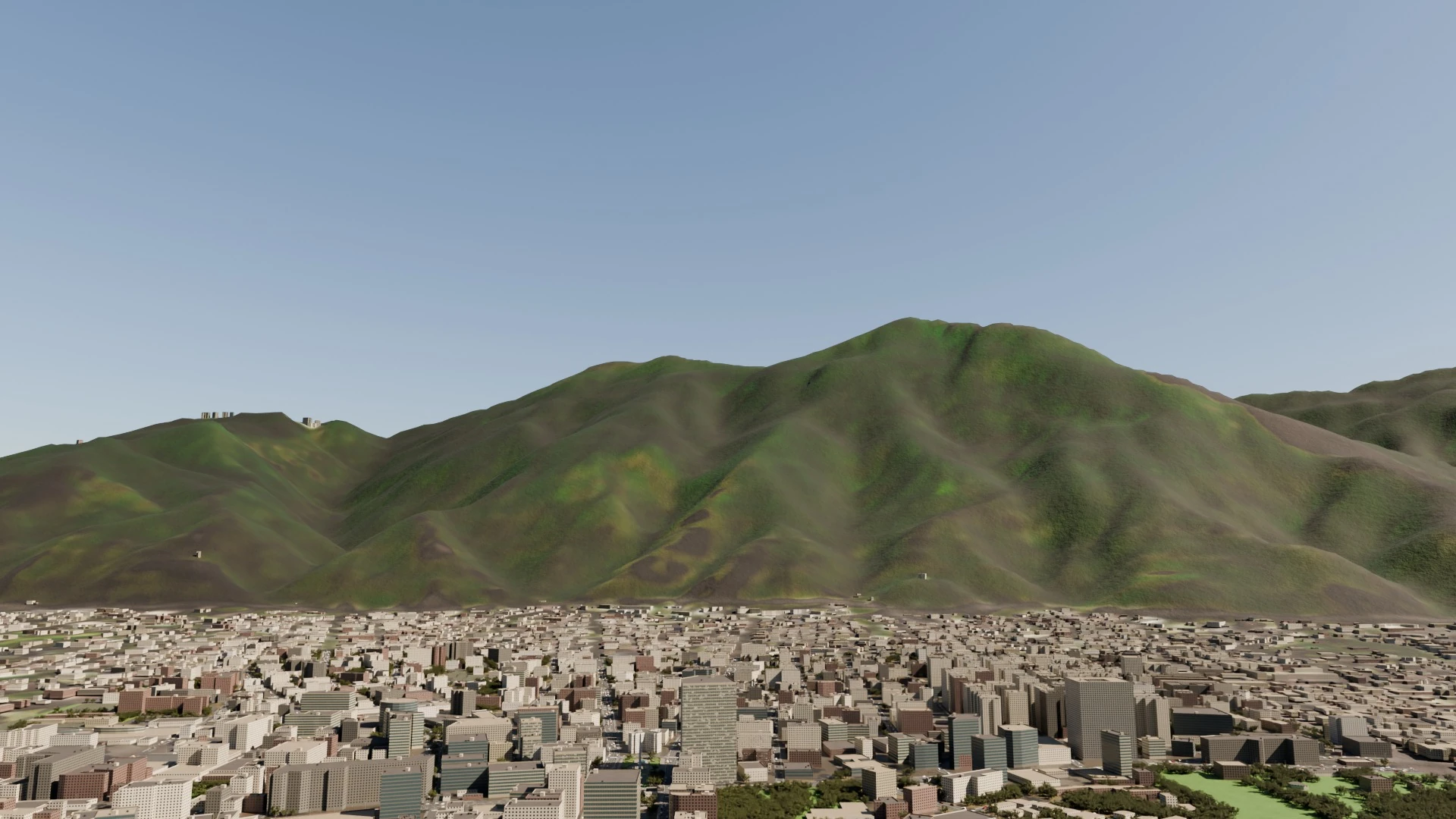
El Ávila above the city of Caracas, with thousands of automatically generated buildings
El Ávila above the city

Want to see the 3D Environments of Venezuela in action?

Schedule a demo or tell us what you need. We reply by WhatsApp or email.